-40%
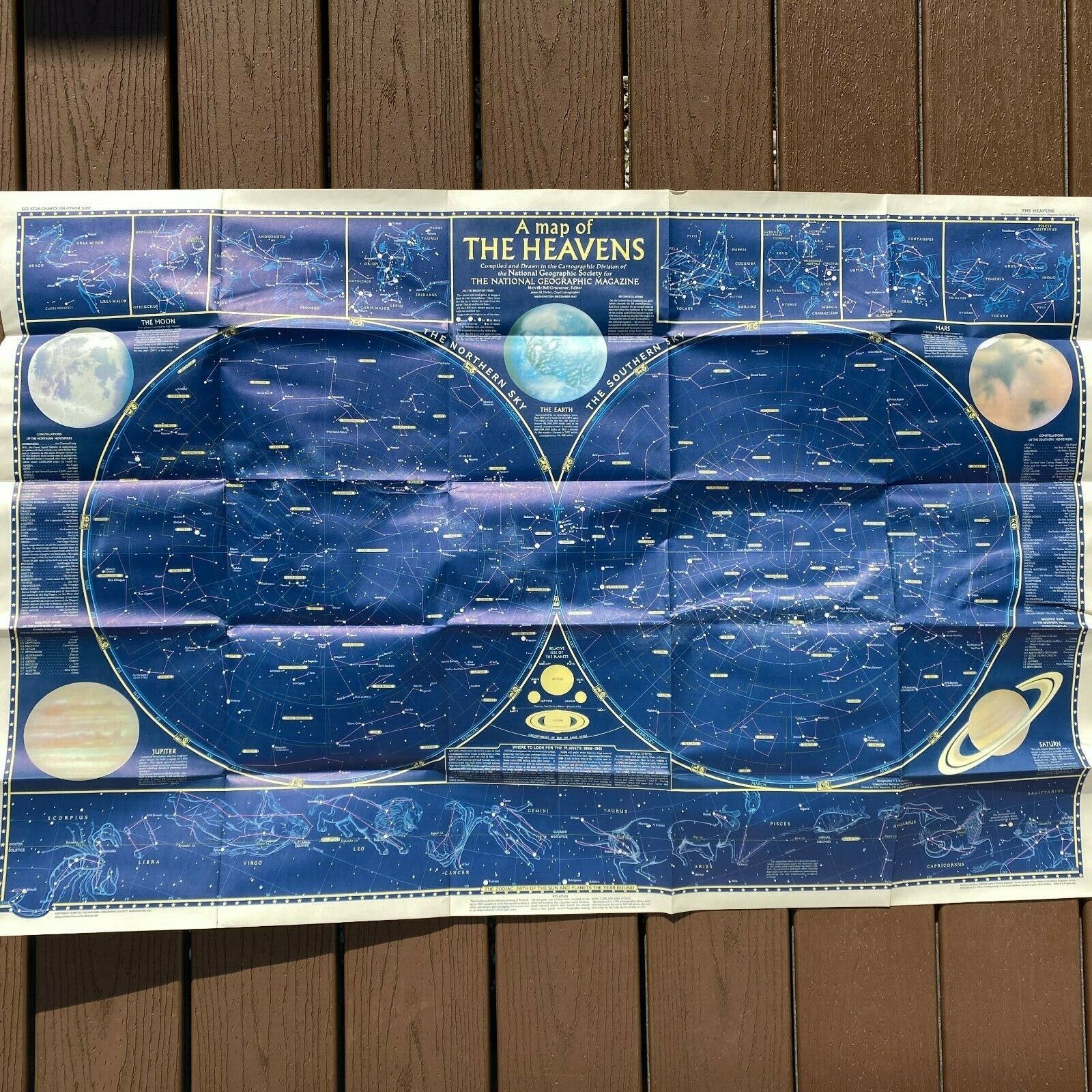
Atlas of the Heavens & B.A.A. Star Charts Booklet Astronomy booklet set
$ 23.76
- Description
- Size Guide
Description
Auction:Atlas of the Heavens & B.A.A. Star Charts
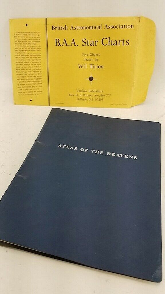
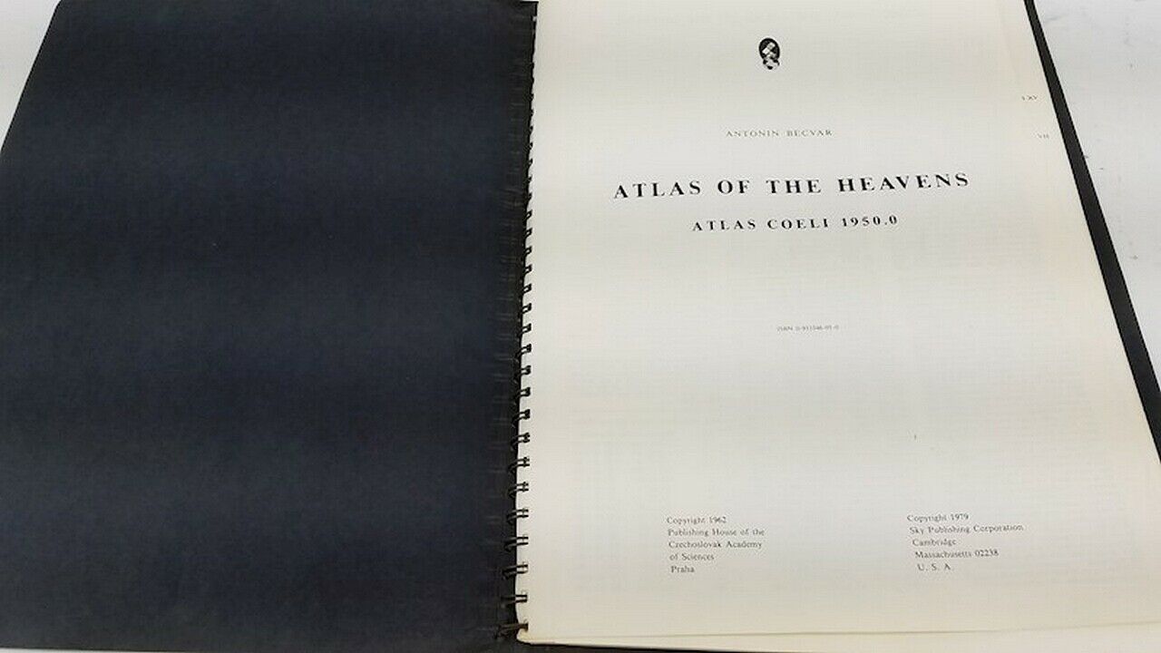
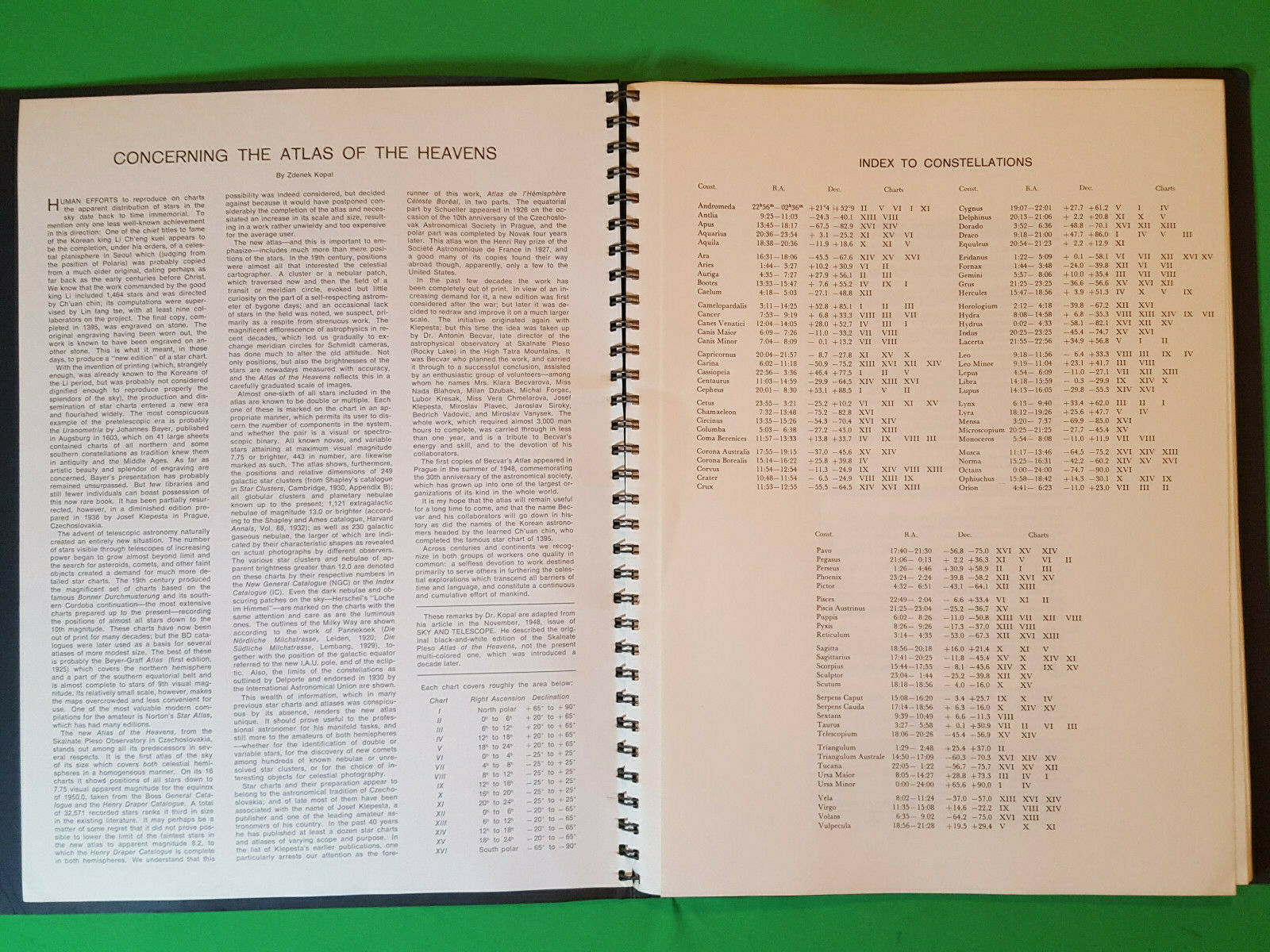
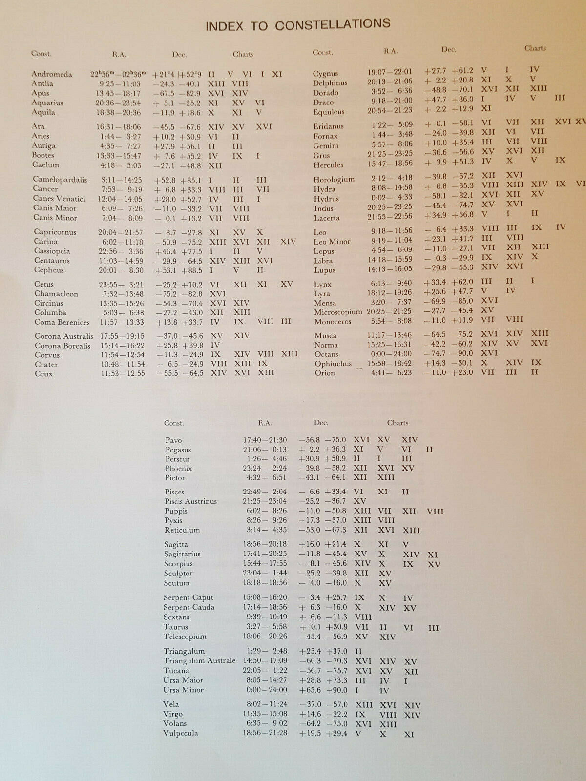
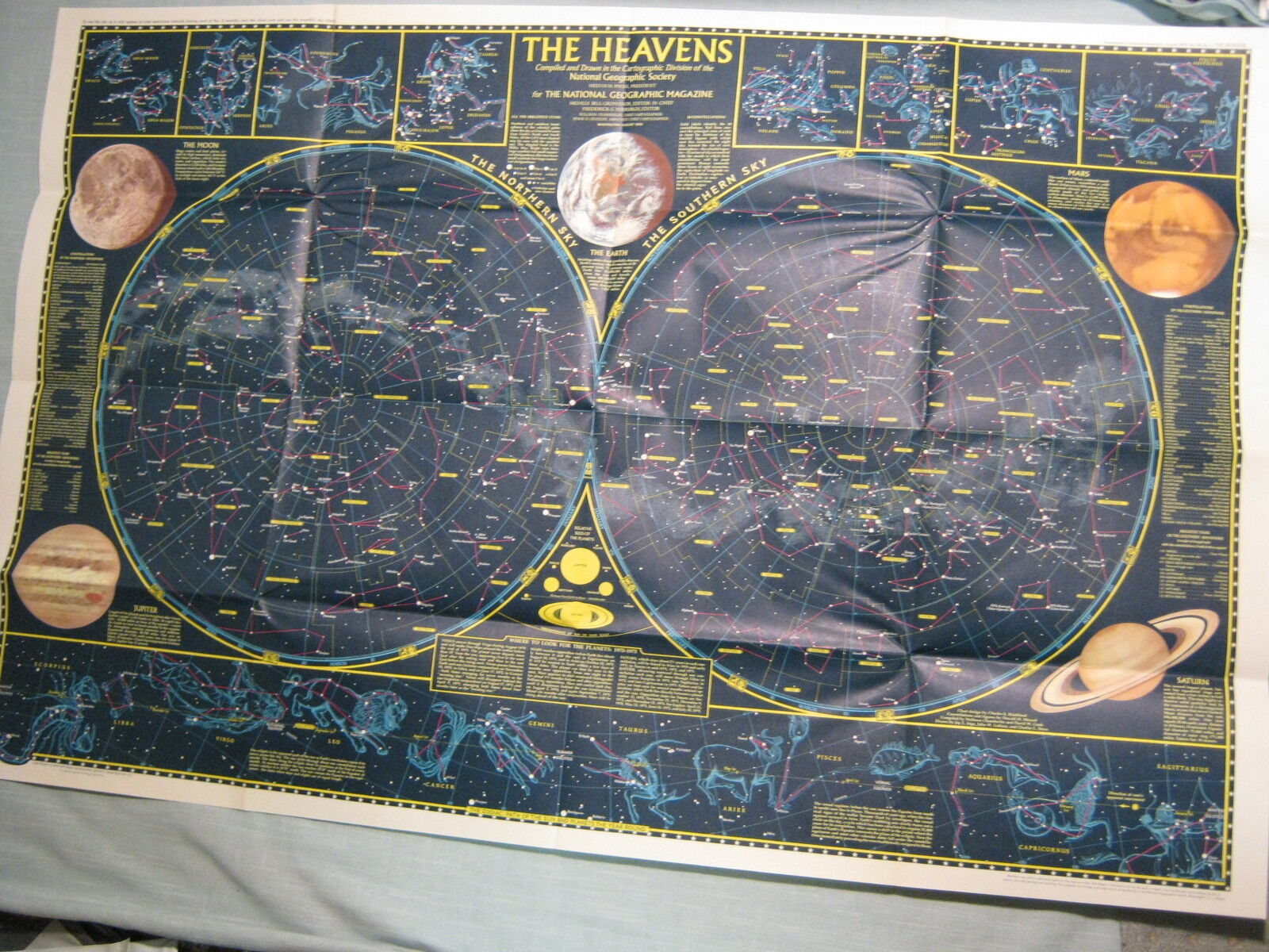
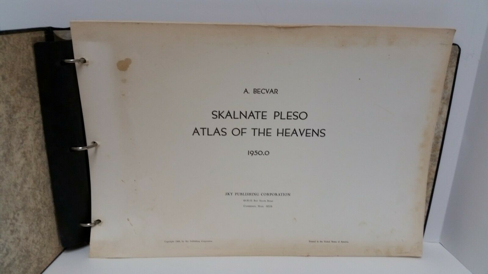
Atlas of the Heavens: (spiral bound)
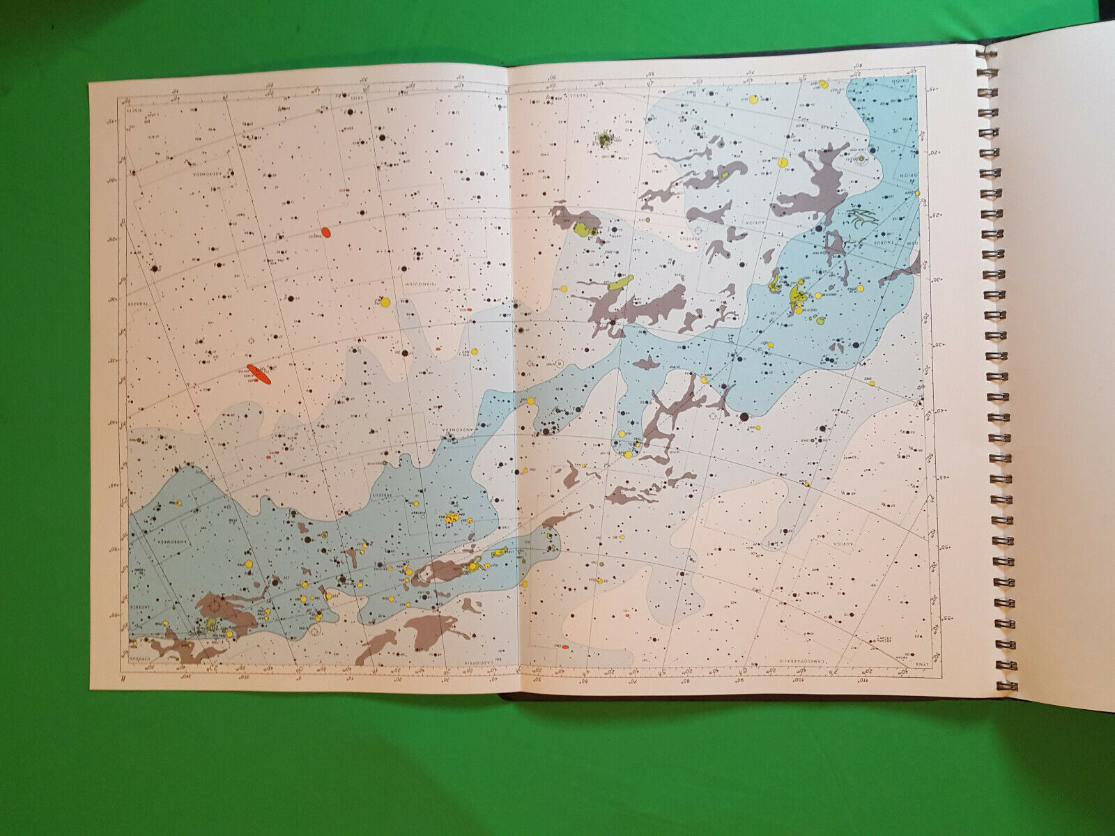
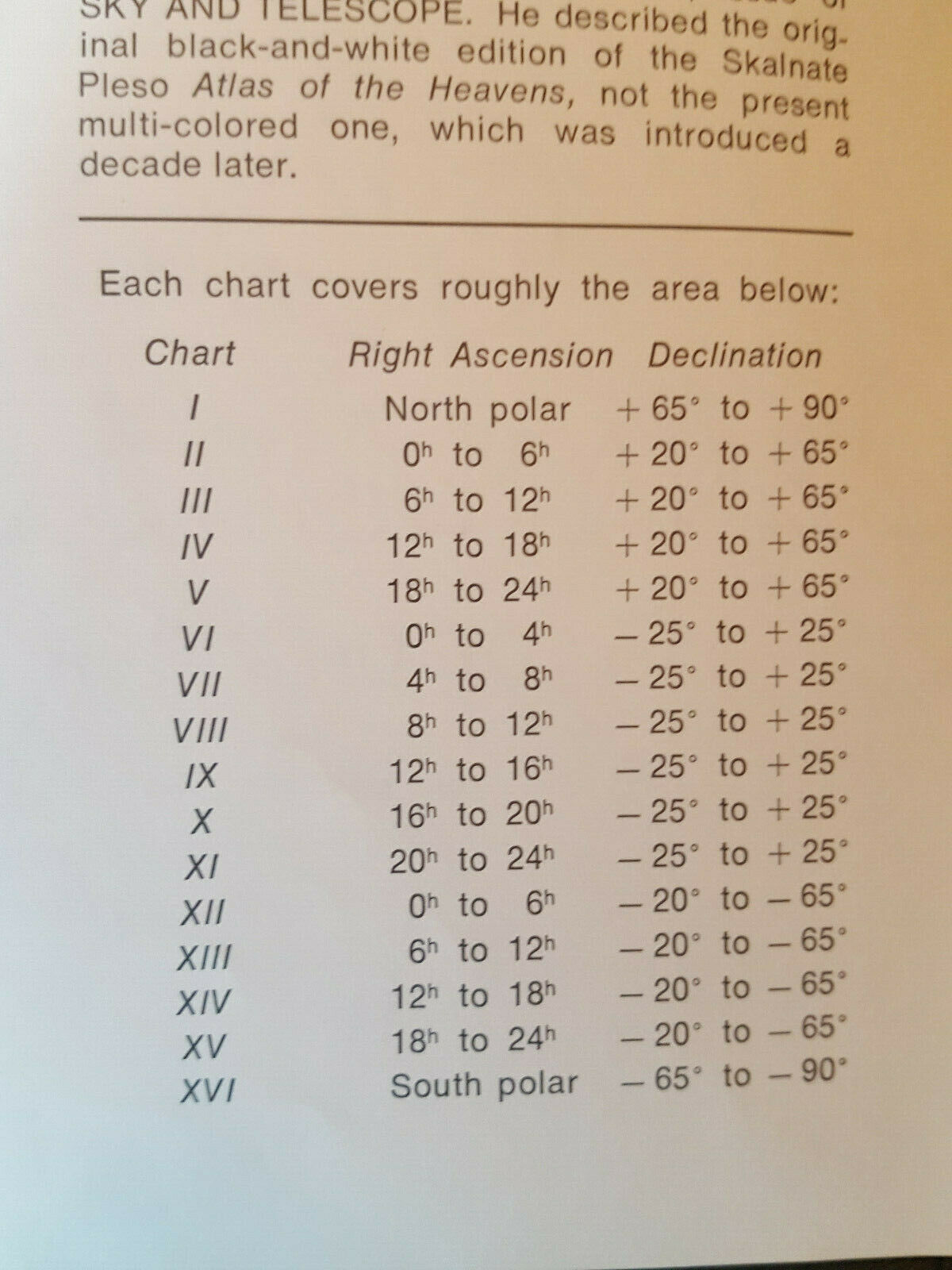
Contain 16 large foldouts each measuring 23" 16"
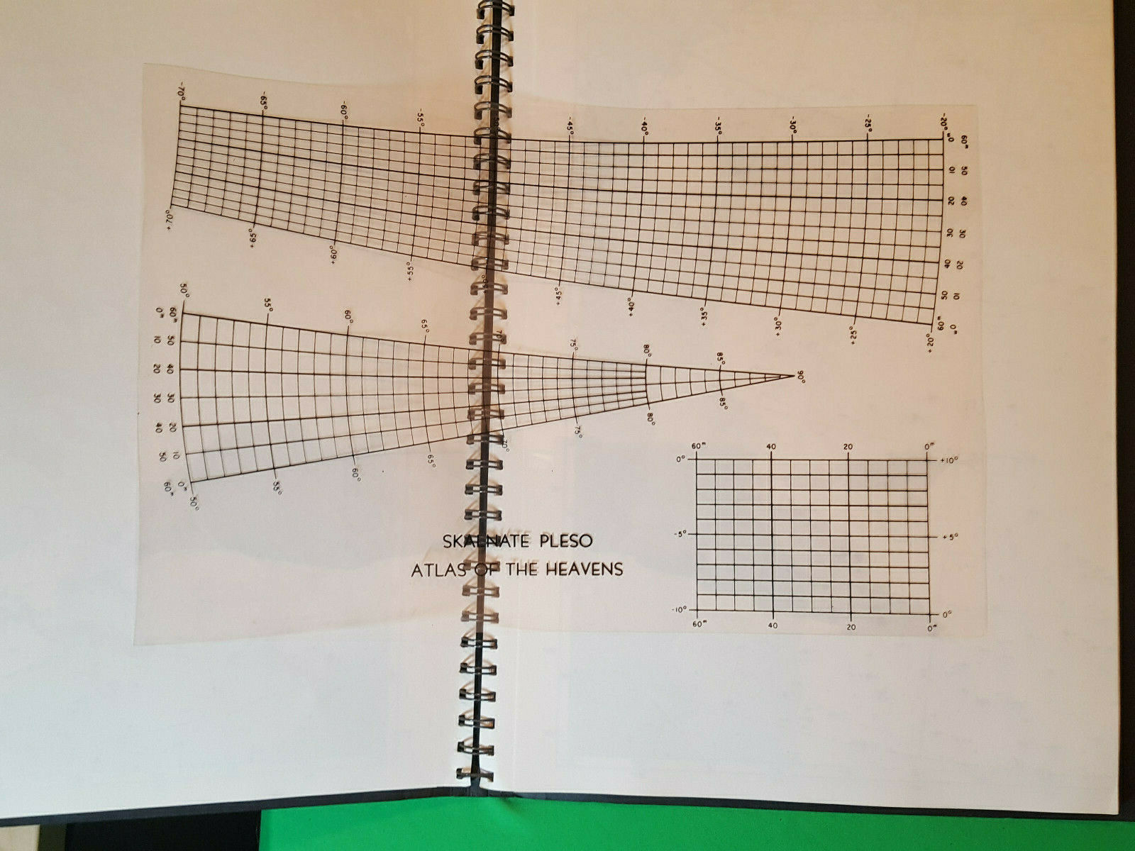
Contains Skalnate Pleso Atlas of The Heavens transparency grid
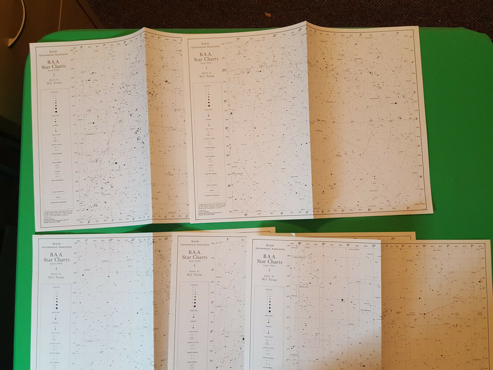
The BAA Star Charts:
Drawn by Will Tirion contain 5 charts all in vg condition.
Condition:
Used Very good condition, some creased edges of papers
(see pictures)
Additional Information:
Year: 1960s
Length (in.) : 17
Width (in.) : 13
Height (in): : 1
Atlas of the Heavens:
The
Skalnaté Pleso Atlas of the Heavens
(
Atlas
Coeli
Skalnaté Pleso
1950.0) is a set of 16 celestial charts covering the entire sky. It is named after the
Skalnaté Pleso
Observatory in Slovakia where it was produced.
The BAA Star Charts:
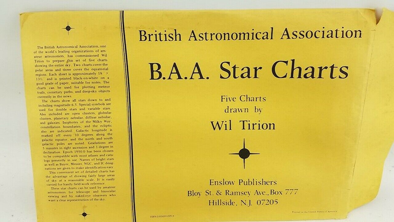
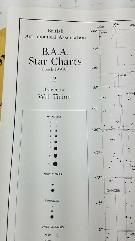
For collectors, the complete maps set of very first Wil Tirion works. The British Astronomical Association, one of the world's leading organizations of amateur astronomers, has commissioned Wil Tirion to prepare this set of five charts showing the entire sky. Two charts cover the polar areas and three cover the equatorial regions. Each sheet is approximately 18'' x 13.5'' and is printed black-on-white on a good grade of paper, suitable for notes. The charts can be used for plotting meteor trails, cometary paths, and deep-sky objects currently in the news. The charts show all stars down to and including magnitude 6.5. Special symbols are used for double stars and variable stars. Also included are open clusters, globular clusters, planetary nebulae, diffuse nebulae, and galaxies. Isophotes of the Milky Way, constellation boundaries, and the ecliptic also are indicated. Galactic longitude is marked off every 10 degrees along the galactic equator, and the north and south galactic poles are noted. Gradations are 5 minutes in right ascension and 1 degree in declination. Epoch 1950.0 has been chosen to be compatible with most atlases and catalogs presently in use. Names of bright stars as well as Bayer, Messier, NGC, and IC designations are given to make identification easy. This convenient set of detailed charts has the advantage of showing fairly large areas of sky at a reasonable scale. It is easily carried for handy field-work reference. These star charts can be used by amateur astronomers for telescope and binocular viewing and by naked-eye observers who want a clear representation of the sky.
Important Please Read:
I do sell internationally with the Global Shipping Program.
Buyers will be expedited to pay for all import duties and fees if any.
Book (s) will ship media mail unless another option is chosen
***
Media Mail is cheaper for you but super slow sometimes 10+ days
***
I strive to ship at the lowest price I can find. I have no control what USPS/FEDEX/UPS charges.
I rarely charge handling fees. When I do it is just for the box and packaging
I am spoiled by Amazon Prime shipping services too.
So suffice to say.. I make no money from shipping, it's simply "is what it is."
I am happy to combine shipping anytime I can.
More pictures are available upon request.
Good Luck and Happy Bidding
Please email me with any questions I respond fast.
